Mission
Project Summary
This project investigates how extreme swell events affect Rangiroa Atoll, French Polynesia’s largest atoll, particularly exposed to flooding, erosion, and sea-level rise. Unlike rare cyclones or tsunamis, mega-swells occur frequently in the Tuamotu Archipelago, elevating lagoon water levels, reshaping reef islands, and threatening local communities. Yet, the hydrodynamics of atolls under such extreme forcing remain poorly understood due to limited monitoring. Using data from the SWOT mission, the FUTURISKS 2025 field campaign, and high-resolution numerical modeling, this project will analyze lagoon water dynamics, reconstruct major swell events, and identify the physical mechanisms driving atoll’s flooding. Rangiroa’s morphology and exposure provides an ideal natural laboratory to study tidal distortion, wave growth, wave–current interactions, and extreme water levels. The outcomes will improve SWOT SWH and SSH accuracy in atoll environments, enhance predictive models of swell-induced flooding and support coastal risk adaptation in French Polynesia and other low-lying reef systems.
Background and Context
Atolls—low-lying coral reef systems—are among the most vulnerable environments to sea-level rise, flooding, and erosion, and many may become uninhabitable by mid-century (Storlazzi et al., 2018). Extreme events such as cyclones, tsunamis, and especially storm-generated mega-swells can cause major damage to infrastructure and ecosystems (Andrefouet et al., 2023).
Rangiroa, the largest atoll in French Polynesia, has experienced repeated extreme events (cyclones Orama and Veena, 1983; mega-swells in 1996, 2011, 2022). Recent advances in radar altimetry, notably the Ka-band radar interferometer (KaRIn) on SWOT, now enable high-resolution mapping of sea surface height and wave fields in atolls (Ardhuin et al., 2025; Postec et al., 2025; Cottour et al., 2025). However, SWOT’s revisit time limits short-term event capture, necessitating a combined satellite–field–modeling approach. The project builds on the ANR PPR FUTURISKS program (“Past-to-FUTURe Coastal RISKS in Tropical French Overseas Island Territories”), which conducted an extensive field campaignon Rangiroa atoll coordinated by F. Bouchette (Univ. Montpellier) and involving Ifremer–LOPS, and other partners (Shom, LIENSs). This PhD will contribute to ongoing collaborations on (i) remote sensing of sea-state (SWOT Science Team, ESA Sea State CCI, CNES LAGOON), (ii) coupled wave–ocean modeling (CROCO and WW3 groups) and (iii) wave climate and storm surge climate projections (COWCliP, SurgeMIP).
Scientific Objectives
• Characterize lagoon water-level responses to extreme swell events.
• Improve KaRIn SWH and SSHA estimates through validation activities of wet tropospheric correction, sea state bias and mean sea surface over atoll environments;
• Identify physical mechanisms driving high lagoon levels and flooding.
• Develop and validate a coupled wave–circulation modeling framework for atolls.
• Provide transferable knowledge for coastal risk management in other reef systems.
Methodology
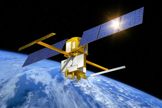
Satellite observations (SWOT): The SWOT mission delivers unprecedented maps of SSH and SWH via KaRIn interferometry. Native data will be reprocessed following Cottour et al. (2025), combining Level-2 Unsmoothed and Expert products to reduce mean sea surface uncertainty and resolve water-level gradients within the atoll and near reef passes. Dedicated analysis of the SWH, sea state bias and wet troposheric corrections will be carried out in order to reduce errors in the SWH and SSHA fields. Detailed analysis of the water level dynamics will be based on the Unsmoothed 250m-resolution data. In addition, HR masking of Rangiroa atoll will be requested in order to investigate pixel-cloud performance for mapping extreme water levels in atolls. Finally, the project will contribute to the request for an extension of the mission in order to secure enough data for robust analysis.
Field observations (FUTURISKS 2025): From May–August 2025, 50 instruments (pressure sensors, buoys, ADCPs, weather stations) were deployed across Rangiroa’s lagoon, reef, and passes to capture hydrodynamic variability. Two GNSS-based prototypes were co-located with SWOT overpasses for CAL/VAL analysos using the Chupin et al. (2023) approach. This dataset will be used to calibrate and validate SWOT data, and identify missing processes in model simulations.
Numerical modeling (CROCO–WW3): A high-resolution (~100 m) coupled model will simulate atoll circulation, waves, and wave–current interactions. Local refinements (~20 m) will represent wave-driven flow across reef barriers. The model will be validated against field and SWOT data to ensure realistic spatial–temporal dynamics. Simulations will first reproduce observed 2025 swell events, then reconstruct historical mega-swells to assess key drivers of lagoon flooding under contrasting conditions.
=================
For more Information about the topics and the co-financial partner (found by the lab!); contact Directeur de thèse -guillaume.dodet@ifremer.fr
Then, prepare a resume, a recent transcript and a reference letter from your M2 supervisor/ engineering school director and you will be ready to apply online before March 13th, 2026 Midnight Paris time!
Profil
• Strong understanding of coastal dynamics and radar altimetry
• Experience in numerical modelling (wave, hydrodynamic)
• Proficiency in Unix operating systems
• Skilled in Python and/or Matlab programming
Laboratoire
Message from PhD Team
More details on CNES website : https://cnes.fr/fr/theses-post-doctorats